
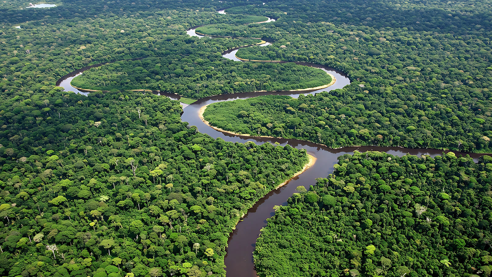
The Aquiry civilization, which existed in the southwestern Amazon between 600 BC and AD 850, built huge geometric earthen structures (geoglyphs) surrounded by moats in the region.
The international team, led by archaeo-anthropologist Martti Parssinen from the University of Helsinki, mapped the structures hidden under the rainforest with aerial laser scans using LIDAR technology.
396 NEW BUILDINGS WERE DETECTED WITH LIDAR TECHNOLOGY
Researchers scanned an area of 4,497 square kilometers across the region and uncovered a total of 432 earthen structures, 396 of which were detected for the first time. The fact that the scanned area constituted less than 3 percent of the entire Amazon region revealed the extent of the area covered by the civilization.
Based on available data, scientists estimate that the Aquiry civilization spread over an area of 183 thousand square kilometers at its peak around 200 AD. It is estimated that there may be between 24 thousand and 30 thousand earthen structures in the region and the population reaches 1.2 million to 3 million.
It is stated that Aquiry culture consists of community networks connected by common traditions, rather than a single kingdom or empire. It is noted that the houses have not survived to the present day due to their wooden structure, but wide roads were connected to the deep moated structures used as ceremonial and political gathering areas.
AMAZON’S PERCEPTION OF “UNTOUCHED NATURE” IS CHANGING
LIDAR findings revealed that the conventional view of the Amazon rainforest as an untouched virgin forest needs to change.
Researchers say that in 200 AD, the region consisted of residential areas surrounded by corn, cassava, pumpkin and cotton fields; He stated that the surrounding forests are managed by human hands with fruit and hazelnut trees.
Research continues on why the Aquiry civilization disappeared around 850 AD and what happened in the period until 1000 AD. The results of the study were published in the journal Nature.
